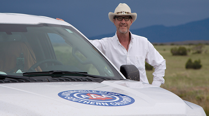
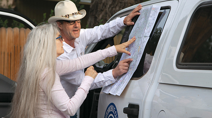
Henry plays a crucial role and maintains an office in the cartography department, but he’s rarely there. “You’ll have to meet Shane,” people used to tell me. “He’s an interesting guy.”
When we finally crossed paths in the office one day, he had the air of a cowboy who’d just returned from the range. It wasn’t just the boots and hat, or the holster on his hip that held a Leatherman tool. As he stood next to a file cabinet talking about some dusty corner of the Mojave Desert he’d just been exploring, I noticed a far-off look in his eye, as though a part of him were still out there, on the road. Over time, I noticed he often had the same faraway look. Where was he, anyway? And what, exactly, was he doing out there?
I decided to find out, especially when I heard he was updating Indian Country. First published in 1936, the iconic map was created to meet the booming tourist interest in the Four Corners region, where Arizona, New Mexico, Colorado, and Utah meet. Central to the public’s interest was the growing fascination with the frequently exoticized Native Americans there—a fervor heightened by bookseller Adam Clark Vroman’s photographs of the Hopi and the writings of John Wesley Powell, Charles Fletcher Lummis, Susan Wallace, and other influential authors.
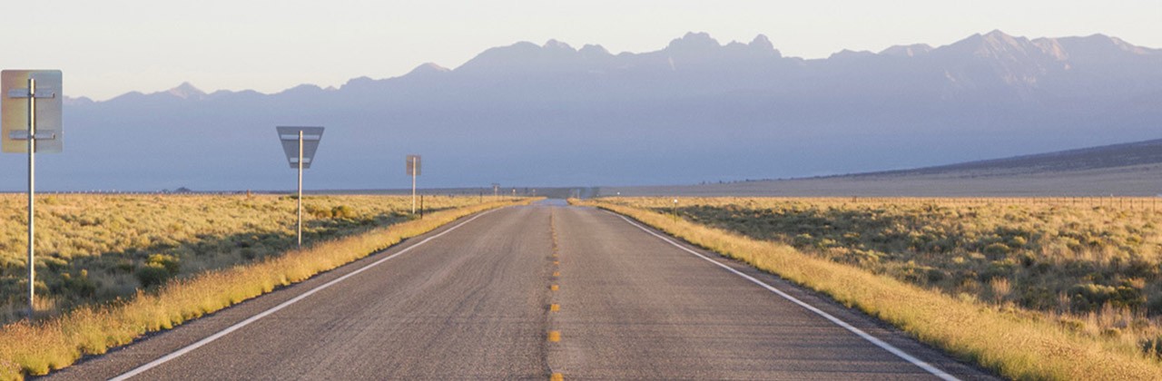
Today, the Indian Country map covers nearly 165,000 square miles—an area about the size of California—that stretch from eastern Nevada to the Great Plains, and from the Rockies to Needles, California. It encompasses the Grand Canyon, Mesa Verde, and Canyon de Chelly, as well as land belonging to the Navajo, Hopi, Pueblo, and about a dozen other tribes. The map is such a fixture that novelist Tony Hillerman featured it in his best-selling mysteries set in the area. And park rangers continue to recommend the map to visitors. As Kim Henkel, a park service ranger in northern New Mexico, pointed out, travelers can quickly find themselves out of cell range, where navigation apps are useless. Another vital distinction: Unlike many apps and road maps of the area, Indian Country features important dirt roads and specifies whether they’re suitable for passenger cars or for four-wheel-drive vehicles only. I was eager to see how the map was made.
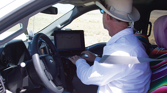
So one morning near the end of summer, I found myself heading north from Santa Fe in Henry’s company-issued Ford F-150, which was emblazoned with the words Mapping Unit. The truck was equipped with a specialized odometer, a GPS device to track our every move, and a laptop loaded with topographic maps. In the back, Henry carried all manner of provisions: an ice chest, a duffel bag with clothes, camping gear, and no fewer than three shovels (which tells you something about the kinds of roads Henry drives). We were heading toward Rio Grande del Norte National Monument in northern New Mexico. He figured we’d spend the night in a cheap motel across the state line in Colorado, but he wasn’t certain. We might encounter a road he didn’t know existed and have to drive it, which could take us who knows where. Or we could wind up in a remote wilderness too late in the day to drive out, or broken down and camping for the night. “My days rarely go according to plan,” he said.
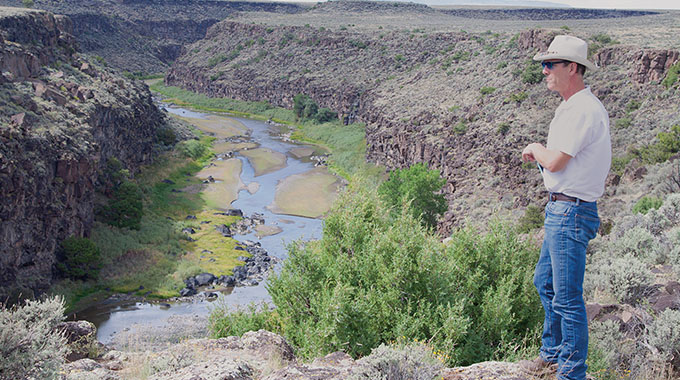
Any of the above might have concerned me, but as we drove, I was too distracted by the steady stream of pastel towns, adobe homes, and red pepper–draped doorways visible out the window. Then there were the mountains rising all around us: the Sangre de Cristos, the Jemez, the Tusas. And overhead, popcorn clouds scudded across a vast sky, calling to mind Willa Cather’s line about New Mexico’s “brilliant blue world of stinging air and moving cloud.” No wonder Georgia O’Keeffe and so many other artists had flocked here. I was besotted.
As we neared Taos, Henry chatted about the work of a field cartographer, whose job differs from that of other cartographers. I had naively assumed that famous explorers, from Columbus to Lewis and Clark, had made many of the maps that we associate with their journeys, but more often than not, we have cartographers to thank. Lewis and Clark, for example, finished their expedition to the Pacific Coast in 1806, but it took another eight years before a cartographer in Philadelphia turned their notes into the “Lewis and Clark map.” Henry may not be Lewis or Clark, but he is charting wilderness that few will ever encounter and providing key Geographic Information Systems data and intel to cartographers back in the office.